Dominic Beddow
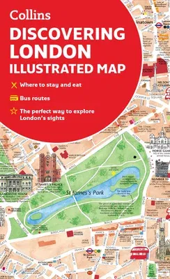
(Author)Discovering London Illustrated MapFolded, 1 May 2022
Temporarily out of stock
Free Delivery
Cash on Delivery
15 Days
Free Returns
Secure Checkout

Description
Product Details
Authors:
Book Format:
Folded
Country of Origin:
US
Date Published:
1 May 2022
Genre:
British
ISBN-10:
0008492611
ISBN-13:
9780008492618
Language:
English
Publisher: